 vesseltracker.com
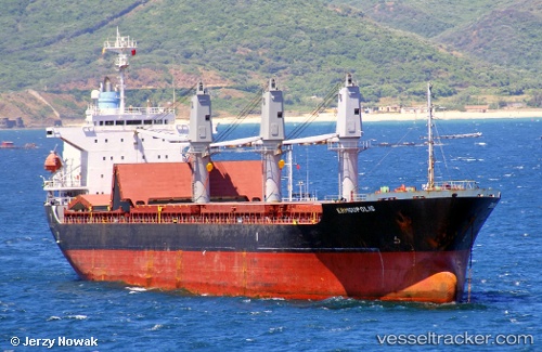
Vessel NADA IMO: 9197088, MMSI: 341630000 Bulk Carrier
UTC, 11.67497, 43.20472, course: 99, speed: 0
UTC, 11.67477, 43.20513, course: 123, speed: 0.2
2026-02-10 03:49:54 UTC, 11.60335, 43.13748, course: 89, speed: 1.2
Live AIS position:
UTC. Near Djibouti),
updated 2026-02-10 03:49:54 UTC.
Find the position of the vessel NADA on the map. The latter are known coordinates and path.
marine traffic ship tracker show on live map
The current position of vessel NADA is 11.60335 lat / 43.13748 lng. Updated: 2026-02-10 03:49:54 UTCCurrently sailing under the flag of St.Kitts and Nevis
NADA built in 1999 year
Deadweight:
24993 tDetails:
Last coordinates of the vessel:
UTC, 11.67501, 43.20473, course: 101, speed: 0UTC, 11.67497, 43.20472, course: 99, speed: 0
UTC, 11.67477, 43.20513, course: 123, speed: 0.2
2026-02-10 03:49:54 UTC, 11.60335, 43.13748, course: 89, speed: 1.2