.
vessel SI OSIRIS IMO: 9226695, General Cargo Ship vesseltracker.com
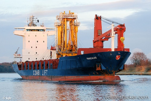
Vessel SI OSIRIS IMO: 9226695, MMSI: 613003759 General Cargo Ship

callsign: UNKNOWN
size: 20x118

Live AIS position: UTC. Near TUZLA), updated 2023-12-26 06:30:41 UTC.

Find the position of the vessel SI OSIRIS on the map. The latter are known coordinates and path.

marine traffic ship tracker show on live map

The current position of vessel SI OSIRIS is 40.81878 lat / 29.23475 lng. Updated: 2023-12-26 06:30:41 UTC

Currently sailing under the flag of Cameroon

SI OSIRIS built in 2000 year

Deadweight:
7072 t

Details:


Last coordinates of the vessel:
2023-12-26 06:30:41 UTC, 40.81878, 29.23475, course: 299, speed: 0


Most frequent ports a vessels calls at SI OSIRIS (613003759):

Boma, traffic: 9
Banana, traffic: 3
Qabis, traffic: 3
Strait Of Gibraltar, traffic: 3
Luanda, traffic: 1
Pointe Noire, traffic: 1
Antalya, traffic: 1
Port Gentil, traffic: 1
Apapa, traffic: 1
Puerto De La Luz, traffic: 1
Bar, traffic: 1
Rhodes, traffic: 1
Cape Lopez, traffic: 1
Jorf Lasfar, traffic: 1
Gelibolu, traffic: 1

Link to the map:


Find another ship

SI_OSIRIS (613003759) last ports (portcalls and passsages)

Qabis | 2023-12-01 00:57:57
Qabis | 2023-11-27 00:23:31
Qabis | 2023-11-22 23:02:39
Strait Of Gibraltar | 2023-11-18 09:58:17
Jorf Lasfar | 2023-11-13 23:13:00
Boma | 2023-07-06 13:46:25
Banana | 2023-07-04 15:53:11
Boma | 2023-07-01 14:01:29
Boma | 2023-06-27 09:40:43
Boma | 2023-06-22 20:21:43
Boma | 2023-06-18 19:41:22
Boma | 2023-06-14 18:27:05
Boma | 2023-05-23 11:33:25
Boma | 2023-04-24 14:06:02
Banana | 2023-03-26 07:20:18
Boma | 2023-03-25 14:16:18
Pointe Noire | 2023-03-23 23:17:25
Luanda | 2023-03-20 17:06:24
Port Gentil | 2023-03-15 08:42:10
Lagos | 2023-03-11 20:31:11
Apapa | 2023-03-11 17:57:26
Puerto De La Luz | 2023-02-28 17:51:09
Strait Of Gibraltar | 2023-02-25 23:45:14
Bar | 2023-02-17 21:04:22
Antalya | 2023-02-08 03:25:41
Rhodes | 2023-02-07 08:41:01
Gelibolu | 2023-01-16 17:57:16
Strait Of Gibraltar | 2023-01-09 20:16:51