 vesseltracker.com
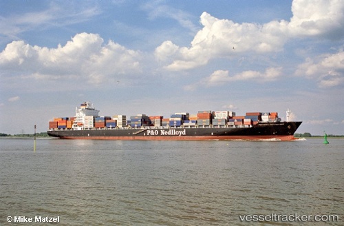
Vessel Msc Julia R IMO: 9227338, MMSI: 636016430 Container Ship
UTC, -2.75235, -80.28869, course: 133, speed: 13.3
UTC, -2.60372, -80.16323, course: 68, speed: 15.1
2026-02-23 14:05:04 UTC, -2.24800, -79.96793, course: 31, speed: 6.5
Live AIS position:
UTC. Near Puerto Nuevo),
updated 2026-02-23 14:05:04 UTC.
Find the position of the vessel Msc Julia R on the map. The latter are known coordinates and path.
marine traffic ship tracker show on live map
The current position of vessel Msc Julia R is -2.24800 lat / -79.96793 lng. Updated: 2026-02-23 14:05:04 UTCCurrently sailing under the flag of Liberia
Msc Julia R built in 2002 year
Deadweight:
53081 tDetails:
Last coordinates of the vessel:
UTC, -2.90595, -80.53562, course: 15, speed: 10.2UTC, -2.75235, -80.28869, course: 133, speed: 13.3
UTC, -2.60372, -80.16323, course: 68, speed: 15.1
2026-02-23 14:05:04 UTC, -2.24800, -79.96793, course: 31, speed: 6.5