 vesseltracker.com
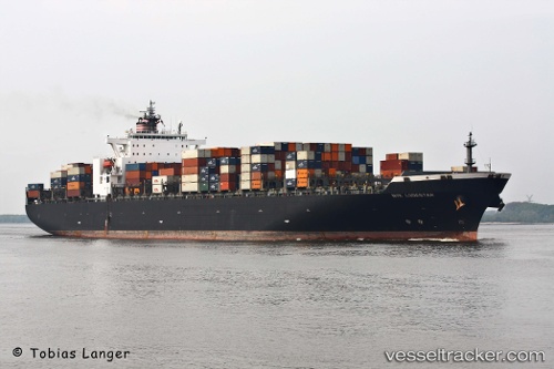
Vessel Catherine C IMO: 9229300, MMSI: 636017173 Container Ship
UTC, -4.12640, 40.04310, course: 164, speed: 0.9
UTC, -4.10508, 40.03880, course: 160, speed: 1.3
2026-02-15 13:23:48 UTC, -4.17365, 40.10233, course: 109, speed: 8.8
Live AIS position:
UTC. 26 nm E of Mombasa),
updated 2026-02-15 13:23:48 UTC.
Find the position of the vessel Catherine C on the map. The latter are known coordinates and path.
marine traffic ship tracker show on live map
The current position of vessel Catherine C is -4.17365 lat / 40.10233 lng. Updated: 2026-02-15 13:23:48 UTCCurrently sailing under the flag of Liberia
Catherine C built in 2001 year
Deadweight:
77900 tDetails:
Last coordinates of the vessel:
UTC, -4.15846, 40.04488, course: 162, speed: 0.7UTC, -4.12640, 40.04310, course: 164, speed: 0.9
UTC, -4.10508, 40.03880, course: 160, speed: 1.3
2026-02-15 13:23:48 UTC, -4.17365, 40.10233, course: 109, speed: 8.8