 vesseltracker.com
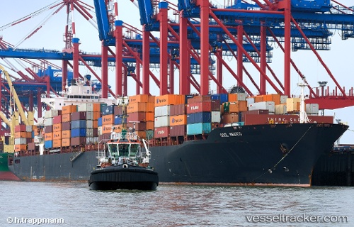
Vessel Mexico IMO: 9231779, MMSI: 636015496 Container Ship
UTC, 39.92791, -73.16281, course: 50, speed: 7.9
UTC, 40.12324, -73.25089, course: 310, speed: 8.2
2026-02-26 13:22:49 UTC, 40.27026, -73.48625, course: 308, speed: 7.2
Live AIS position:
UTC. 19 nm SE of Ambrose Channel Light),
updated 2026-02-26 13:22:49 UTC.
Find the position of the vessel Mexico on the map. The latter are known coordinates and path.
marine traffic ship tracker show on live map
The current position of vessel Mexico is 40.27026 lat / -73.48625 lng. Updated: 2026-02-26 13:22:49 UTCCurrently sailing under the flag of Liberia
Mexico built in 2002 year
Deadweight:
66686 tDetails:
Last coordinates of the vessel:
UTC, 39.80695, -73.32270, course: 38, speed: 8.1UTC, 39.92791, -73.16281, course: 50, speed: 7.9
UTC, 40.12324, -73.25089, course: 310, speed: 8.2
2026-02-26 13:22:49 UTC, 40.27026, -73.48625, course: 308, speed: 7.2