 vesseltracker.com
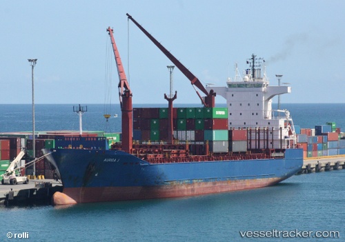
Vessel Kaptan Aytac A IMO: 9242302, MMSI: 271044301 Container Ship
UTC, 43.07919, 33.82505, course: 66, speed: 11
UTC, 43.07919, 33.82505, course: 66, speed: 11
2026-01-26 18:31:08 UTC, 43.27303, 34.35845, course: 58, speed: 11.5
Live AIS position:
UTC. 73 nm S of Yalta),
updated 2026-01-26 18:31:08 UTC.
Find the position of the vessel Kaptan Aytac A on the map. The latter are known coordinates and path.
marine traffic ship tracker show on live map
The current position of vessel Kaptan Aytac A is 43.27303 lat / 34.35845 lng. Updated: 2026-01-26 18:31:08 UTCCurrently sailing under the flag of Turkey
Kaptan Aytac A built in 2001 year
Deadweight:
17183 tDetails:
Last coordinates of the vessel:
UTC, 42.88981, 33.33323, course: 65, speed: 10.9UTC, 43.07919, 33.82505, course: 66, speed: 11
UTC, 43.07919, 33.82505, course: 66, speed: 11
2026-01-26 18:31:08 UTC, 43.27303, 34.35845, course: 58, speed: 11.5