 vesseltracker.com
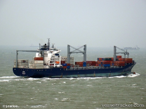
Vessel Em Astoria IMO: 9243617, MMSI: 636015321 Container Ship
UTC, 21.48088, 39.15770, course: 170, speed: 0
UTC, 21.48087, 39.15772, course: 170, speed: 0
2026-02-09 03:30:41 UTC, 21.48085, 39.15760, course: 170, speed: 0
Live AIS position:
UTC. Near Tusdeer Free Zone),
updated 2026-02-09 03:30:41 UTC.
Find the position of the vessel Em Astoria on the map. The latter are known coordinates and path.
marine traffic ship tracker show on live map
The current position of vessel Em Astoria is 21.48085 lat / 39.15760 lng. Updated: 2026-02-09 03:30:41 UTCDetails:
Last coordinates of the vessel:
UTC, 21.48089, 39.15771, course: 170, speed: 0UTC, 21.48088, 39.15770, course: 170, speed: 0
UTC, 21.48087, 39.15772, course: 170, speed: 0
2026-02-09 03:30:41 UTC, 21.48085, 39.15760, course: 170, speed: 0