 vesseltracker.com
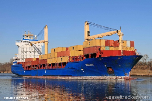
Vessel MSC NORDEROOG F IMO: 9256315, MMSI: 636021914 Container Ship
UTC, 30.39919, -81.26690, course: 167, speed: 0.5
UTC, 30.39432, -81.47679, course: 280, speed: 10.6
2026-02-25 16:22:22 UTC, 30.38939, -81.53939, course: 259, speed: 0
Live AIS position:
UTC. Near Blount Island),
updated 2026-02-25 16:22:22 UTC.
Find the position of the vessel MSC NORDEROOG F on the map. The latter are known coordinates and path.
marine traffic ship tracker show on live map
The current position of vessel MSC NORDEROOG F is 30.38939 lat / -81.53939 lng. Updated: 2026-02-25 16:22:22 UTCCurrently sailing under the flag of Liberia
MSC NORDEROOG F built in 2004 year
Deadweight:
16921 tDetails:
Last coordinates of the vessel:
UTC, 30.37054, -81.17486, course: 281, speed: 6.6UTC, 30.39919, -81.26690, course: 167, speed: 0.5
UTC, 30.39432, -81.47679, course: 280, speed: 10.6
2026-02-25 16:22:22 UTC, 30.38939, -81.53939, course: 259, speed: 0