 vesseltracker.com
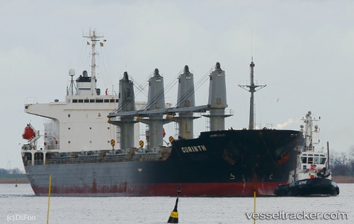
Vessel SEA PEARL J IMO: 9261011, MMSI: 314676000 Multi Purpose Carrier
UTC, 45.11164, 37.02658, course: 75, speed: 5.9
UTC, 45.11164, 37.02658, course: 75, speed: 5.9
2026-02-22 06:17:51 UTC, 45.11561, 37.01403, course: 86, speed: 7.6
Live AIS position:
UTC. 14 nm SE of Taman),
updated 2026-02-22 06:17:51 UTC.
Find the position of the vessel SEA PEARL J on the map. The latter are known coordinates and path.
marine traffic ship tracker show on live map
The current position of vessel SEA PEARL J is 45.11561 lat / 37.01403 lng. Updated: 2026-02-22 06:17:51 UTCCurrently sailing under the flag of Barbados
SEA PEARL J built in 2002 year
Deadweight:
31842 tDetails:
Last coordinates of the vessel:
UTC, 45.11164, 37.02658, course: 75, speed: 5.9UTC, 45.11164, 37.02658, course: 75, speed: 5.9
UTC, 45.11164, 37.02658, course: 75, speed: 5.9
2026-02-22 06:17:51 UTC, 45.11561, 37.01403, course: 86, speed: 7.6