 vesseltracker.com
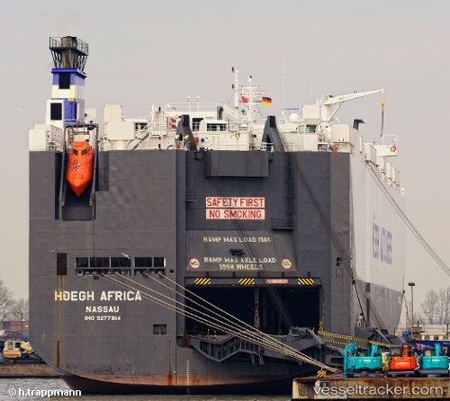
Vessel Hoegh Africa IMO: 9277814, MMSI: 311594000 Vehicles Carrier
UTC, 41.83697, 144.27583, course: 72, speed: 17
UTC, 41.96500, 144.89500, course: -1, speed: 17
2026-02-11 00:00:48 UTC, 42.18080, 145.85423, course: 70, speed: 16.8
Live AIS position:
UTC. 64 nm SE of Daikoku Island),
updated 2026-02-11 00:00:48 UTC.
Find the position of the vessel Hoegh Africa on the map. The latter are known coordinates and path.
marine traffic ship tracker show on live map
The current position of vessel Hoegh Africa is 42.18080 lat / 145.85423 lng. Updated: 2026-02-11 00:00:48 UTCDetails:
Last coordinates of the vessel:
UTC, 41.74713, 143.81953, course: 74, speed: 16.5UTC, 41.83697, 144.27583, course: 72, speed: 17
UTC, 41.96500, 144.89500, course: -1, speed: 17
2026-02-11 00:00:48 UTC, 42.18080, 145.85423, course: 70, speed: 16.8