 vesseltracker.com
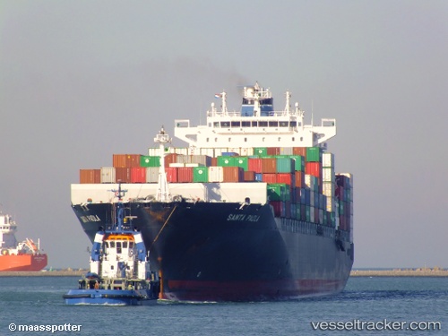
Vessel Felixstowe Bridge IMO: 9290402, MMSI: 352688000 Container Ship
UTC, 29.80034, 48.51919, course: -1, speed: 0.1
UTC, 29.80084, 48.51859, course: -1, speed: 0.4
2026-02-15 06:06:19 UTC, 29.80003, 48.51428, course: -1, speed: 0.1
Live AIS position:
UTC. 15 nm W of Khawr-Al-Amaya),
updated 2026-02-15 06:06:19 UTC.
Find the position of the vessel Felixstowe Bridge on the map. The latter are known coordinates and path.
marine traffic ship tracker show on live map
The current position of vessel Felixstowe Bridge is 29.80003 lat / 48.51428 lng. Updated: 2026-02-15 06:06:19 UTCDetails:
Last coordinates of the vessel:
UTC, 29.80084, 48.52011, course: -1, speed: 0.1UTC, 29.80034, 48.51919, course: -1, speed: 0.1
UTC, 29.80084, 48.51859, course: -1, speed: 0.4
2026-02-15 06:06:19 UTC, 29.80003, 48.51428, course: -1, speed: 0.1