 vesseltracker.com
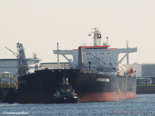
Vessel PAROS IMO: 9296195, MMSI: 354290000 Crude Oil Tanker
UTC, 56.54688, 7.43958, course: 207, speed: 11.1
UTC, 56.39712, 7.30073, course: 207, speed: 10.9
2026-01-29 04:02:11 UTC, 56.01375, 6.83958, course: 224, speed: 10.9
Live AIS position:
UTC. 43 nm W of HVIDE SANDE),
updated 2026-01-29 04:02:11 UTC.
Find the position of the vessel PAROS on the map. The latter are known coordinates and path.
marine traffic ship tracker show on live map
The current position of vessel PAROS is 56.01375 lat / 6.83958 lng. Updated: 2026-01-29 04:02:11 UTCCurrently sailing under the flag of Panama
PAROS built in 2003 year
Deadweight:
107197 tDetails:
Last coordinates of the vessel:
UTC, 56.88905, 7.85185, course: 210, speed: 11.4UTC, 56.54688, 7.43958, course: 207, speed: 11.1
UTC, 56.39712, 7.30073, course: 207, speed: 10.9
2026-01-29 04:02:11 UTC, 56.01375, 6.83958, course: 224, speed: 10.9