 vesseltracker.com
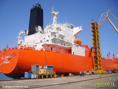
Vessel Al Jabirah IMO: 9332042, MMSI: 403574000 Lpg Tanker
UTC, 24.46735, 52.51073, course: 16, speed: 0
UTC, 24.46762, 52.51029, course: 40, speed: 0
2026-02-18 21:24:00 UTC, 24.46775, 52.51015, course: 45, speed: 0
Live AIS position:
UTC. 10 nm NW of Yas Island),
updated 2026-02-18 21:24:00 UTC.
Find the position of the vessel Al Jabirah on the map. The latter are known coordinates and path.
marine traffic ship tracker show on live map
The current position of vessel Al Jabirah is 24.46775 lat / 52.51015 lng. Updated: 2026-02-18 21:24:00 UTCDetails:
Last coordinates of the vessel:
UTC, 24.46729, 52.51097, course: 11, speed: 0UTC, 24.46735, 52.51073, course: 16, speed: 0
UTC, 24.46762, 52.51029, course: 40, speed: 0
2026-02-18 21:24:00 UTC, 24.46775, 52.51015, course: 45, speed: 0