 vesseltracker.com
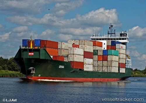
Vessel SKYLIGHT IMO: 9360984, MMSI: 636020280 Container Ship
UTC, 41.85379, 31.66825, course: 257, speed: 13.6
UTC, 41.70562, 30.88975, course: 258, speed: 13.1
2026-02-25 14:31:03 UTC, 41.59135, 30.27546, course: 258, speed: 13.2
Live AIS position:
UTC. 15 nm N of Maials),
updated 2026-02-25 14:31:03 UTC.
Find the position of the vessel SKYLIGHT on the map. The latter are known coordinates and path.
marine traffic ship tracker show on live map
The current position of vessel SKYLIGHT is 41.59135 lat / 30.27546 lng. Updated: 2026-02-25 14:31:03 UTCCurrently sailing under the flag of Liberia
SKYLIGHT built in 2007 year
Deadweight:
8820 tDetails:
Last coordinates of the vessel:
UTC, 41.91519, 31.99377, course: 258, speed: 13.6UTC, 41.85379, 31.66825, course: 257, speed: 13.6
UTC, 41.70562, 30.88975, course: 258, speed: 13.1
2026-02-25 14:31:03 UTC, 41.59135, 30.27546, course: 258, speed: 13.2