 vesseltracker.com
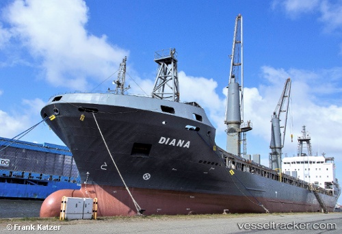
Vessel Fulmar S IMO: 9370082, MMSI: 314462000 Multi Purpose Carrier
Live AIS position:
UTC. Near Aliaga),
updated 2024-07-24 10:07:21 UTC.
Find the position of the vessel Fulmar S on the map. The latter are known coordinates and path.
marine traffic ship tracker show on live map
The current position of vessel Fulmar S is 38.86990 lat / 26.96399 lng. Updated: 2024-07-24 10:07:21 UTCCurrently sailing under the flag of Barbados
Fulmar S built in 2007 year
Deadweight:
13450 tDetails:
Last coordinates of the vessel:
2024-07-24 10:07:21 UTC, 38.86990, 26.96399, course: 40, speed: 0