 vesseltracker.com
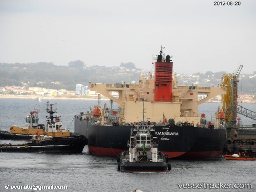
Vessel SOUSTA IMO: 9384992, MMSI: 538009869 Crude Oil Tanker
Live AIS position:
UTC. 294 nm E of San Martín),
updated 2025-09-28 09:29:29 UTC.
Find the position of the vessel SOUSTA on the map. The latter are known coordinates and path.
marine traffic ship tracker show on live map
The current position of vessel SOUSTA is -69.34695 lat / -54.01141 lng. Updated: 2025-09-28 09:29:29 UTCCurrently sailing under the flag of Marshall Islands
SOUSTA built in 2007 year
Deadweight:
106045 tDetails:
Last coordinates of the vessel:
2025-09-28 09:29:29 UTC, -69.34695, -54.01141, course: 0, speed: 5.6