 vesseltracker.com
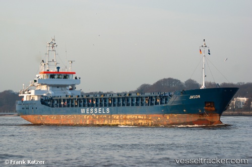
Vessel WILSON DAVANGER IMO: 9390111, MMSI: 314618000 General Cargo Ship
UTC, 43.29744, -9.68567, course: 26, speed: 10.2
UTC, 43.55102, -9.39621, course: 43, speed: 10.7
2026-02-17 16:25:24 UTC, 43.91768, -8.89674, course: 47, speed: 10
Live AIS position:
UTC. 32 nm NE of Villanueva de Lorenzana),
updated 2026-02-17 16:25:24 UTC.
Find the position of the vessel WILSON DAVANGER on the map. The latter are known coordinates and path.
marine traffic ship tracker show on live map
The current position of vessel WILSON DAVANGER is 43.91768 lat / -8.89674 lng. Updated: 2026-02-17 16:25:24 UTCCurrently sailing under the flag of Barbados
WILSON DAVANGER built in 2008 year
Deadweight:
3783 tDetails:
Last coordinates of the vessel:
UTC, 43.03864, -9.75417, course: 328, speed: 0.7UTC, 43.29744, -9.68567, course: 26, speed: 10.2
UTC, 43.55102, -9.39621, course: 43, speed: 10.7
2026-02-17 16:25:24 UTC, 43.91768, -8.89674, course: 47, speed: 10