 vesseltracker.com
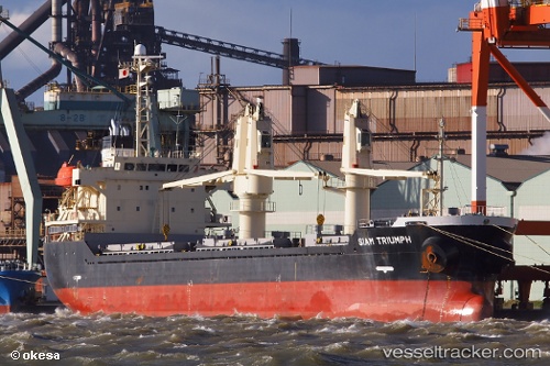
Vessel Adarose IMO: 9392107, MMSI: 636019247 Bulk Carrier
UTC, 36.09395, -6.27842, course: 64, speed: 0.1
UTC, 33.40827, -8.64083, course: 334, speed: 2.2
2026-01-25 06:14:17 UTC, 33.44348, -8.66112, course: 315, speed: 2.2
Live AIS position:
UTC. 14 nm NW of El Jadida),
updated 2026-01-25 06:14:17 UTC.
Find the position of the vessel Adarose on the map. The latter are known coordinates and path.
marine traffic ship tracker show on live map
The current position of vessel Adarose is 33.44348 lat / -8.66112 lng. Updated: 2026-01-25 06:14:17 UTCDetails:
Last coordinates of the vessel:
UTC, 36.09200, -6.27737, course: 11, speed: 0.2UTC, 36.09395, -6.27842, course: 64, speed: 0.1
UTC, 33.40827, -8.64083, course: 334, speed: 2.2
2026-01-25 06:14:17 UTC, 33.44348, -8.66112, course: 315, speed: 2.2