 vesseltracker.com
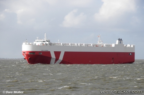
Vessel Neptune Horizon IMO: 9451721, MMSI: 256488000 Vehicles Carrier
UTC, -15.35647, -37.23207, course: 25, speed: 12.5
UTC, -15.03860, -37.12180, course: 24, speed: 12.5
2026-02-17 22:03:09 UTC, -14.60102, -36.92992, course: 23, speed: 12.4
Live AIS position:
UTC. 131 nm SE of Lauro de Freitas),
updated 2026-02-17 22:03:09 UTC.
Find the position of the vessel Neptune Horizon on the map. The latter are known coordinates and path.
marine traffic ship tracker show on live map
The current position of vessel Neptune Horizon is -14.60102 lat / -36.92992 lng. Updated: 2026-02-17 22:03:09 UTCCurrently sailing under the flag of Malta
Neptune Horizon built in 2010 year
Deadweight:
11215 tDetails:
Last coordinates of the vessel:
UTC, -15.84523, -37.42985, course: 4, speed: 12.2UTC, -15.35647, -37.23207, course: 25, speed: 12.5
UTC, -15.03860, -37.12180, course: 24, speed: 12.5
2026-02-17 22:03:09 UTC, -14.60102, -36.92992, course: 23, speed: 12.4