 vesseltracker.com
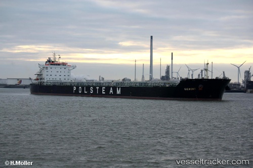
Vessel Giewont IMO: 9452593, MMSI: 311029800 Bulk Carrier
UTC, -3.25667, -36.29500, course: -1, speed: 10
UTC, -3.36334, -36.12429, course: 120, speed: 9.7
2026-02-09 19:49:46 UTC, -3.55854, -35.81215, course: 119, speed: 9.8
Live AIS position:
UTC. 97 nm N of Guamaré),
updated 2026-02-09 19:49:46 UTC.
Find the position of the vessel Giewont on the map. The latter are known coordinates and path.
marine traffic ship tracker show on live map
The current position of vessel Giewont is -3.55854 lat / -35.81215 lng. Updated: 2026-02-09 19:49:46 UTCCurrently sailing under the flag of Bahamas
Giewont built in 2010 year
Deadweight:
79649 tDetails:
Last coordinates of the vessel:
UTC, -3.04833, -36.63667, course: -1, speed: 9UTC, -3.25667, -36.29500, course: -1, speed: 10
UTC, -3.36334, -36.12429, course: 120, speed: 9.7
2026-02-09 19:49:46 UTC, -3.55854, -35.81215, course: 119, speed: 9.8