 vesseltracker.com
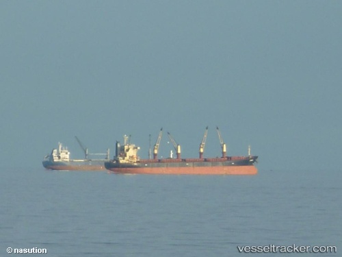
Vessel JACOB H IMO: 9452634, MMSI: 355529000 Bulk Carrier
UTC, 40.24702, 122.08451, course: 269, speed: 0
UTC, 40.24699, 122.08441, course: 269, speed: 0
2026-02-25 16:00:05 UTC, 40.24701, 122.08448, course: 269, speed: 0
Live AIS position:
UTC. Near Bayuquan),
updated 2026-02-25 16:00:05 UTC.
Find the position of the vessel JACOB H on the map. The latter are known coordinates and path.
marine traffic ship tracker show on live map
The current position of vessel JACOB H is 40.24701 lat / 122.08448 lng. Updated: 2026-02-25 16:00:05 UTCCurrently sailing under the flag of Panama
JACOB H built in 2011 year
Deadweight:
57001 tDetails:
Last coordinates of the vessel:
UTC, 40.24703, 122.08446, course: 269, speed: 0UTC, 40.24702, 122.08451, course: 269, speed: 0
UTC, 40.24699, 122.08441, course: 269, speed: 0
2026-02-25 16:00:05 UTC, 40.24701, 122.08448, course: 269, speed: 0