 vesseltracker.com
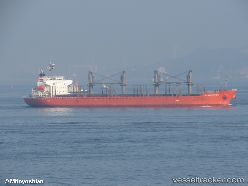
Vessel LADY MARGARET IMO: 9499424, MMSI: 636019454 Bulk Carrier
UTC, 36.79668, 3.07739, course: 346, speed: 0
UTC, 36.79674, 3.07707, course: 359, speed: 0
2026-02-21 08:29:29 UTC, 36.79676, 3.07656, course: 18, speed: 0.1
Live AIS position:
UTC. Near Algiers),
updated 2026-02-21 08:29:29 UTC.
Find the position of the vessel LADY MARGARET on the map. The latter are known coordinates and path.
marine traffic ship tracker show on live map
The current position of vessel LADY MARGARET is 36.79676 lat / 3.07656 lng. Updated: 2026-02-21 08:29:29 UTCCurrently sailing under the flag of Liberia
LADY MARGARET built in 2013 year
Deadweight:
31864 tDetails:
Last coordinates of the vessel:
UTC, 36.79680, 3.07761, course: 336, speed: 0.1UTC, 36.79668, 3.07739, course: 346, speed: 0
UTC, 36.79674, 3.07707, course: 359, speed: 0
2026-02-21 08:29:29 UTC, 36.79676, 3.07656, course: 18, speed: 0.1