 vesseltracker.com
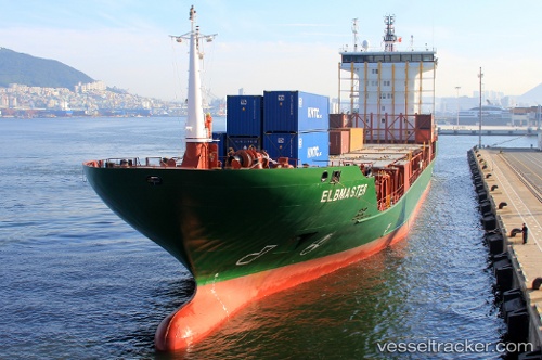
Vessel ANITA A IMO: 9532343, MMSI: 636021307 Container Ship
UTC, 31.82972, 34.61929, course: 205, speed: 0
UTC, 31.82966, 34.61967, course: 218, speed: 0.1
2026-02-21 02:37:57 UTC, 31.82968, 34.61858, course: 165, speed: 0.1
Live AIS position:
UTC. Near Ashdod Bonded),
updated 2026-02-21 02:37:57 UTC.
Find the position of the vessel ANITA A on the map. The latter are known coordinates and path.
marine traffic ship tracker show on live map
The current position of vessel ANITA A is 31.82968 lat / 34.61858 lng. Updated: 2026-02-21 02:37:57 UTCCurrently sailing under the flag of Liberia
ANITA A built in 2009 year
Deadweight:
8494 tDetails:
Last coordinates of the vessel:
UTC, 31.82874, 34.62028, course: 259, speed: 0.1UTC, 31.82972, 34.61929, course: 205, speed: 0
UTC, 31.82966, 34.61967, course: 218, speed: 0.1
2026-02-21 02:37:57 UTC, 31.82968, 34.61858, course: 165, speed: 0.1