 vesseltracker.com
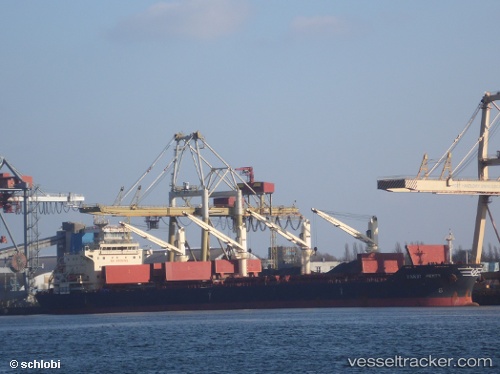
Vessel Handy Perth IMO: 9628128, MMSI: 356555000 Bulk Carrier
UTC, -0.20951, -51.04109, course: 190, speed: 13.3
UTC, -0.39667, -51.16500, course: -1, speed: 12
2026-02-01 20:11:27 UTC, -0.61833, -51.58500, course: -1, speed: 10
Live AIS position:
UTC. 42 nm SW of Santana Pt./Macapá),
updated 2026-02-01 20:11:27 UTC.
Find the position of the vessel Handy Perth on the map. The latter are known coordinates and path.
marine traffic ship tracker show on live map
The current position of vessel Handy Perth is -0.61833 lat / -51.58500 lng. Updated: 2026-02-01 20:11:27 UTCDetails:
Last coordinates of the vessel:
UTC, -0.06667, -51.10833, course: -1, speed: 0UTC, -0.20951, -51.04109, course: 190, speed: 13.3
UTC, -0.39667, -51.16500, course: -1, speed: 12
2026-02-01 20:11:27 UTC, -0.61833, -51.58500, course: -1, speed: 10