 vesseltracker.com
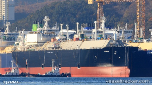
Vessel Murex IMO: 9705641, MMSI: 311000475 Lng Tanker
UTC, -10.39574, 154.59541, course: 169, speed: 17.3
UTC, -11.19105, 154.76805, course: 171, speed: 17.1
2026-02-22 13:40:41 UTC, -11.61836, 154.75262, course: 188, speed: 17.3
Live AIS position:
UTC. 147 nm E of Deboyne Lagoon),
updated 2026-02-22 13:40:41 UTC.
Find the position of the vessel Murex on the map. The latter are known coordinates and path.
marine traffic ship tracker show on live map
The current position of vessel Murex is -11.61836 lat / 154.75262 lng. Updated: 2026-02-22 13:40:41 UTCDetails:
Last coordinates of the vessel:
UTC, -9.86952, 154.49803, course: 170, speed: 17.2UTC, -10.39574, 154.59541, course: 169, speed: 17.3
UTC, -11.19105, 154.76805, course: 171, speed: 17.1
2026-02-22 13:40:41 UTC, -11.61836, 154.75262, course: 188, speed: 17.3