 vesseltracker.com
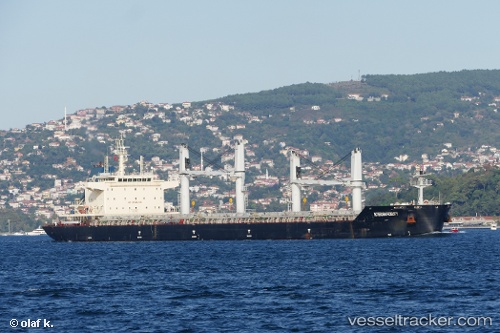
Vessel MAI TAI IMO: 9709221, MMSI: 636021719 Bulk Carrier
UTC, 2.34333, -29.09667, course: -1, speed: 12
UTC, 1.95148, -29.29181, course: 205, speed: 12.4
2026-02-26 09:21:47 UTC, 1.62502, -29.45746, course: 204, speed: 12
Live AIS position:
UTC. 337 nm N of Aquiraz),
updated 2026-02-26 09:21:47 UTC.
Find the position of the vessel MAI TAI on the map. The latter are known coordinates and path.
marine traffic ship tracker show on live map
The current position of vessel MAI TAI is 1.62502 lat / -29.45746 lng. Updated: 2026-02-26 09:21:47 UTCCurrently sailing under the flag of Liberia
MAI TAI built in 2015 year
Deadweight:
38792 tDetails:
Last coordinates of the vessel:
UTC, 2.62178, -28.96144, course: 203, speed: 12.9UTC, 2.34333, -29.09667, course: -1, speed: 12
UTC, 1.95148, -29.29181, course: 205, speed: 12.4
2026-02-26 09:21:47 UTC, 1.62502, -29.45746, course: 204, speed: 12