 vesseltracker.com
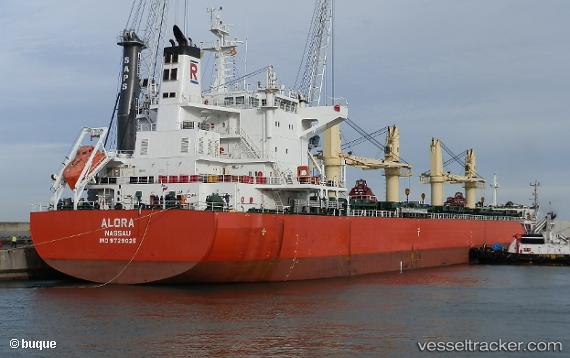
Vessel Alora IMO: 9729025, MMSI: 311000651 Bulk Carrier
UTC, 13.13316, -67.77049, course: 287, speed: 11.3
UTC, 13.22524, -68.13467, course: 287, speed: 11
2026-02-25 09:16:06 UTC, 13.28923, -68.37260, course: 287, speed: 11.2
Live AIS position:
UTC. 63 nm N of Dorp Rincón),
updated 2026-02-25 09:16:06 UTC.
Find the position of the vessel Alora on the map. The latter are known coordinates and path.
marine traffic ship tracker show on live map
The current position of vessel Alora is 13.28923 lat / -68.37260 lng. Updated: 2026-02-25 09:16:06 UTCCurrently sailing under the flag of Bahamas
Details:
Last coordinates of the vessel:
UTC, 13.00900, -67.28704, course: 286, speed: 11UTC, 13.13316, -67.77049, course: 287, speed: 11.3
UTC, 13.22524, -68.13467, course: 287, speed: 11
2026-02-25 09:16:06 UTC, 13.28923, -68.37260, course: 287, speed: 11.2