 vesseltracker.com
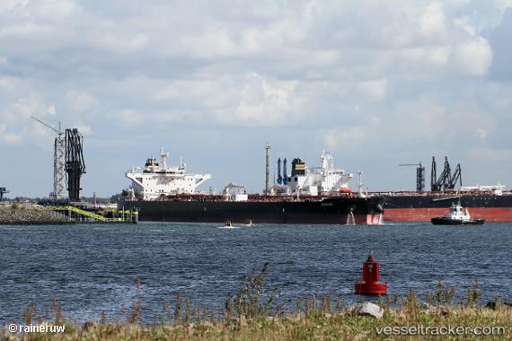
Vessel Waikiki IMO: 9776755, MMSI: 249857000 Crude Oil Tanker
UTC, 37.98342, 120.12340, course: 6, speed: 0
UTC, 37.98332, 120.12256, course: 24, speed: 0
2026-02-16 01:44:36 UTC, 37.98354, 120.12186, course: 35, speed: 0
Live AIS position:
UTC. 22 nm NW of Longkou),
updated 2026-02-16 01:44:36 UTC.
Find the position of the vessel Waikiki on the map. The latter are known coordinates and path.
marine traffic ship tracker show on live map
The current position of vessel Waikiki is 37.98354 lat / 120.12186 lng. Updated: 2026-02-16 01:44:36 UTCDetails:
Last coordinates of the vessel:
UTC, 37.98331, 120.12231, course: 19, speed: 0UTC, 37.98342, 120.12340, course: 6, speed: 0
UTC, 37.98332, 120.12256, course: 24, speed: 0
2026-02-16 01:44:36 UTC, 37.98354, 120.12186, course: 35, speed: 0