 vesseltracker.com
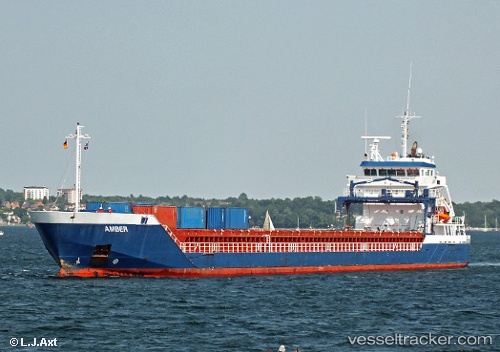
 Amisia
Current Status
Where is the vessel?
Amisia is currently in Near Bremen, based on AIS data received less than 1h ago.
Latest AIS update:
Current position: 53.12506° N, 8.71753° E (Near Bremen)
Average speed (last 7 days): Loading…
Average speed (last 30 days): Loading…
Vessel profile: Amisia is a Multi Purpose Carrier with dimensions 111m x 14m.
This page combines live AIS, route history, probable destination signals, nearby traffic, and port activity for practical vessel monitoring.
The current position of vessel Amisia is 53.12506 lat / 8.71753 lng. Updated: 2026-04-04 22:15:31 UTCNearest reference points:
- Near HASENBURENER DEICH
- Near Hemelingen
- Near Brake
Currently sailing under the flag of Cyprus ![]()
Amisia built in 2008 year
Deadweight:
6059 tDetails:
Live Vessel Amisia Analytics (details, animations, etc.)
Recent AIS points (UTC):
2026-04-04 15:54:31 UTC · 53.12505, 8.71752 · SOG 0 kn · COG 201°2026-04-04 17:33:31 UTC · 53.12505, 8.71752 · SOG 0 kn · COG 201°
2026-04-04 19:57:31 UTC · 53.12506, 8.71752 · SOG 0 kn · COG 202°
2026-04-04 22:15:31 UTC · 53.12506, 8.71753 · SOG 0 kn · COG 201°