 vesseltracker.com
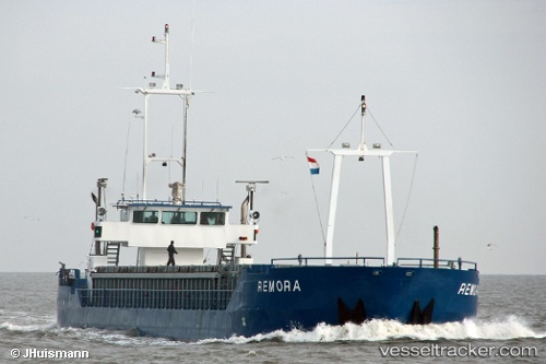
Vessel NINA B IMO: 9213703, MMSI: 209982000 General Cargo Ship
UTC, 59.26214, 11.03502, course: 85, speed: 0
UTC, 59.26215, 11.03503, course: 85, speed: 0
2026-03-10 18:02:08 UTC, 59.26214, 11.03504, course: 85, speed: 0
Live Vessel NINA B Analytics (details, animations, etc.)
Live AIS position: UTC. Near GREAKER), updated 2026-03-10 18:02:08 UTC.Find the position of the vessel NINA B on the map. The latter are known coordinates and path.
marine traffic ship tracker show on live map
The current position of vessel NINA B is 59.26214 lat / 11.03504 lng. Updated: 2026-03-10 18:02:08 UTCCurrently sailing under the flag of Cyprus
NINA B built in 2000 year
Deadweight:
1802 tDetails:
Last coordinates of the vessel:
UTC, 59.26214, 11.03497, course: 85, speed: 0UTC, 59.26214, 11.03502, course: 85, speed: 0
UTC, 59.26215, 11.03503, course: 85, speed: 0
2026-03-10 18:02:08 UTC, 59.26214, 11.03504, course: 85, speed: 0