 vesseltracker.com
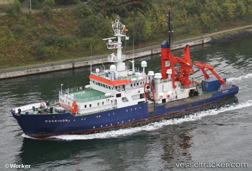
 HUMANITY 1
Current Status
Where is the vessel?
HUMANITY 1 is currently in Near Siracusa, based on AIS data received less than 1h ago.
Latest AIS update:
Current position: 37.06341° N, 15.28859° E (Near Siracusa)
Average speed (last 7 days): Loading…
Average speed (last 30 days): Loading…
Vessel profile: HUMANITY 1 is a General Cargo Ship with dimensions 61m x 61m.
This page combines live AIS, route history, probable destination signals, nearby traffic, and port activity for practical vessel monitoring.
The current position of vessel HUMANITY 1 is 37.06341 lat / 15.28859 lng. Updated: 2026-04-19 17:42:16 UTCNearest reference points:
- Near Siracusa
- Near SANTA PANAGIA
- Near Pier Isab
Currently sailing under the flag of Germany ![]()
HUMANITY 1 built in 1976 year
Deadweight:
287 tDetails:
Live Vessel HUMANITY 1 Analytics (details, animations, etc.)
Recent AIS points (UTC):
2026-04-19 14:00:17 UTC · 37.06343, 15.28862 · SOG 0 kn · COG 110°2026-04-19 16:21:16 UTC · 37.06343, 15.28860 · SOG 0 kn · COG 110°
2026-04-19 16:45:17 UTC · 37.06341, 15.28861 · SOG 0 kn · COG 110°
2026-04-19 17:42:16 UTC · 37.06341, 15.28859 · SOG 0 kn · COG 110°