 vesseltracker.com
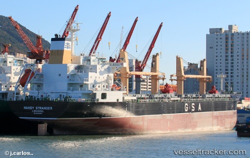
 Handy Stranger
Current Status
Where is the vessel?
Handy Stranger is currently in Near Safi, based on AIS data received less than 1h ago.
Latest AIS update:
Current position: 32.31660° N, 9.30996° W (Near Safi)
Average speed (last 7 days): Loading…
Average speed (last 30 days): Loading…
Vessel profile: Handy Stranger is a Bulk Carrier with dimensions 182m x 30m.
This page combines live AIS, route history, probable destination signals, nearby traffic, and port activity for practical vessel monitoring.
The current position of vessel Handy Stranger is 32.31660 lat / -9.30996 lng. Updated: 2026-04-01 01:39:04 UTCNearest reference points:
- 32 nm NW of Safi
- 52 nm NW of Safi
- Near Jorf Lasfar
Currently sailing under the flag of Cyprus ![]()
Handy Stranger built in 2014 year
Deadweight:
34753 tDetails:
Live Vessel Handy Stranger Analytics (details, animations, etc.)
Recent AIS points (UTC):
2026-03-31 19:50:43 UTC · 32.30611, -9.24608 · SOG 0 kn · COG 352°2026-03-31 21:44:44 UTC · 32.30600, -9.24609 · SOG 0.1 kn · COG 353°
2026-03-31 23:38:44 UTC · 32.30598, -9.24609 · SOG 0.1 kn · COG 352°
2026-04-01 01:39:04 UTC · 32.31660, -9.30996 · SOG 11.9 kn · COG 280°