 vesseltracker.com
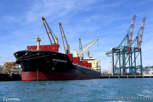
Vessel Maryam D IMO: 9740445, MMSI: 215139000 Bulk Carrier
UTC, 44.1465, 28.649, course: -1, speed: 0
UTC, 44.1465, 28.6489, course: -1, speed: 0
2026-03-04 06:15:50 UTC, 44.1465, 28.6489, course: -1, speed: 0
Live AIS position:
UTC. Near Constanta),
updated 2026-03-04 06:15:50 UTC.
Find the position of the vessel Maryam D on the map. The latter are known coordinates and path.
marine traffic ship tracker show on live map
The current position of vessel Maryam D is 44.1465 lat / 28.6489 lng. Updated: 2026-03-04 06:15:50 UTCCurrently sailing under the flag of Malta
Details:
Last coordinates of the vessel:
UTC, 44.1465, 28.6489, course: -1, speed: 0UTC, 44.1465, 28.649, course: -1, speed: 0
UTC, 44.1465, 28.6489, course: -1, speed: 0
2026-03-04 06:15:50 UTC, 44.1465, 28.6489, course: -1, speed: 0