 vesseltracker.com
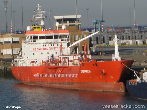
 B Gas Master
Current Status
Where is the vessel?
B Gas Master is currently in Near Zierbena, based on AIS data received about 4h ago.
Latest AIS update:
Current position: 43.36460° N, 3.10123° W (Near Zierbena)
Average speed (last 7 days): Loading…
Average speed (last 30 days): Loading…
Vessel profile: B Gas Master is a Lpg Tanker with dimensions 88m x 15m.
This page combines live AIS, route history, probable destination signals, nearby traffic, and port activity for practical vessel monitoring.
The current position of vessel B Gas Master is 43.3646 lat / -3.10123 lng. Updated: 2026-04-05 03:59:14 UTCNearest reference points:
- Near Zierbena
- Near Santurtz
- Near LAREDO
Currently sailing under the flag of Malta ![]()
B Gas Master built in 2007 year
Deadweight:
3801 tDetails:
Live Vessel B Gas Master Analytics (details, animations, etc.)
Recent AIS points (UTC):
2026-04-05 02:23:08 UTC · 43.36460, -3.10123 · SOG 0 kn · COG 50°2026-04-05 02:53:14 UTC · 43.36460, -3.10124 · SOG 0 kn · COG 50°
2026-04-05 03:59:14 UTC · 43.36460, -3.10123 · SOG 0 kn · COG 50°
2026-04-05 03:59:14 UTC · 43.36460, -3.10123 · SOG 0 kn · COG 50°