 vesseltracker.com
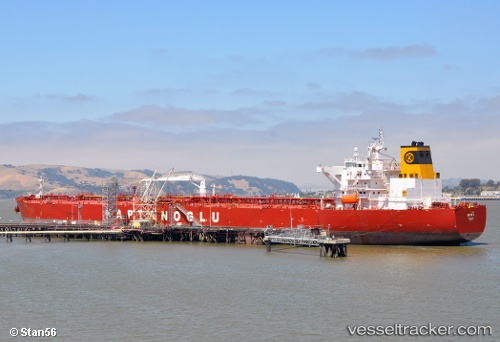
 Eser K
Current Status
Where is the vessel?
Eser K is currently in 395 nm W of Tinaquillo, based on AIS data received about 1h ago.
Latest AIS update:
Current position: 12.18990° N, 62.01260° E (395 nm W of Tinaquillo)
Average speed (last 7 days): Loading…
Average speed (last 30 days): Loading…
Vessel profile: Eser K is a Crude Oil Tanker with dimensions 250m x 44m.
This page combines live AIS, route history, probable destination signals, nearby traffic, and port activity for practical vessel monitoring.
The current position of vessel Eser K is 12.1899 lat / 62.0126 lng. Updated: 2026-03-31 04:02:00 UTCNearest reference points:
- Open sea, approx. 406 nm off the nearest listed port
- Open sea, approx. 407 nm off the nearest listed port
- Open sea, approx. 409 nm off the nearest listed port
Currently sailing under the flag of Malta ![]()
Eser K built in 2010 year
Deadweight:
115830 tDetails:
Live Vessel Eser K Analytics (details, animations, etc.)
Recent AIS points (UTC):
2026-03-30 21:27:21 UTC · 12.79450, 60.68430 · SOG 13.2 kn · COG 114°2026-03-30 23:07:39 UTC · 12.64330, 61.01830 · SOG 13 kn · COG -1°
2026-03-31 02:07:00 UTC · 12.36870, 61.62980 · SOG 13.1 kn · COG 118°
2026-03-31 04:02:00 UTC · 12.18990, 62.01260 · SOG 13 kn · COG 120°