 vesseltracker.com
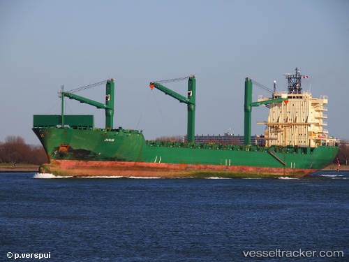
Vessel Cinzia A IMO: 9226516, MMSI: 215421000 Container Ship
Live AIS position:
UTC. Near YALOVA),
updated 2026-01-12 08:12:07 UTC.
Find the position of the vessel Cinzia A on the map. The latter are known coordinates and path.
marine traffic ship tracker show on live map
The current position of vessel Cinzia A is 40.7242 lat / 29.4829 lng. Updated: 2026-01-12 08:12:07 UTCCurrently sailing under the flag of Malta
Cinzia A built in 2001 year
Deadweight:
33894 tDetails:
Last coordinates of the vessel:
2026-01-12 08:12:07 UTC, 40.7242, 29.4829, course: 332, speed: 0