 vesseltracker.com
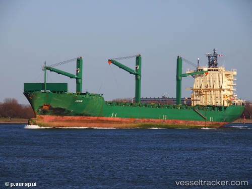
Find the position of the vessel Cinzia A on the map. The latter are known coordinates and path.
marine traffic ship tracker show on live map
The current position of vessel Cinzia A is 42.5817 lat / 4.49166 lng. Updated: 2024-05-07 03:47:36 UTCCurrently sailing under the flag of Malta
Cinzia A built in 2001 year
Port of registry:
İzmir (city in İzmir Province, Turkey)Deadweight:
33894 tGross tonnage:
25535Operator:
ARKAS Line (shipping company of Turkey)Service entry:
2001-01-01T00:00:00ZManufacturer:
Nordseewerke (former German shipbuilding company)Details:
Last coordinates of the vessel:
UTC, 42.8417, 4.73167, course: -1, speed: 13UTC, 42.8417, 4.73167, course: -1, speed: 13
UTC, 42.5817, 4.49166, course: -1, speed: 13
2024-05-07 03:47:36 UTC, 42.5817, 4.49166, course: -1, speed: 13