 vesseltracker.com
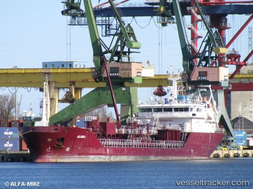
 Oralora
Current Status
Where is the vessel?
Oralora is currently in Near Pornichet, based on AIS data received about 1h ago.
Latest AIS update:
Current position: 47.12578° N, 2.42375° W (Near Pornichet)
Average speed (last 7 days): Loading…
Average speed (last 30 days): Loading…
Vessel profile: Oralora is a Chemical Oil Products Tanker with dimensions 90m x 15m.
This page combines live AIS, route history, probable destination signals, nearby traffic, and port activity for practical vessel monitoring.
The current position of vessel Oralora is 47.12578 lat / -2.42375 lng. Updated: 2026-04-05 15:23:39 UTCNearest reference points:
- 12 nm S of Saint-Céols
- 13 nm S of Saint-Céols
- Near LE CROISIC
Currently sailing under the flag of Denmark ![]()
Oralora built in 2009 year
Deadweight:
4139 tDetails:
Live Vessel Oralora Analytics (details, animations, etc.)
Recent AIS points (UTC):
2026-04-05 10:08:31 UTC · 47.12539, -2.42418 · SOG 0.4 kn · COG 312°2026-04-05 11:38:43 UTC · 47.12580, -2.42642 · SOG 0.6 kn · COG 119°
2026-04-05 13:23:34 UTC · 47.12621, -2.42390 · SOG 0.4 kn · COG 238°
2026-04-05 15:23:39 UTC · 47.12578, -2.42375 · SOG 0.2 kn · COG 267°