 vesseltracker.com
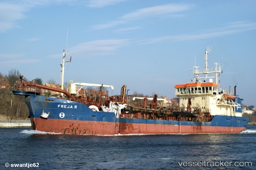
Find the position of the vessel Freja R on the map. The latter are known coordinates and path.
marine traffic ship tracker show on live map
The current position of vessel Freja R is 57.6073 lat / 9.97005 lng. Updated: 2025-07-19 03:19:03 UTCCurrently sailing under the flag of Denmark
Freja R built in 1982 year
Deadweight:
2784 tDetails:
Last coordinates of the vessel:
UTC, 57.6074, 10.0093, course: 269, speed: 3.8UTC, 57.5967, 9.95902, course: 300, speed: 0.9
UTC, 57.5972, 9.95805, course: 337, speed: 0.5
2025-07-19 03:19:03 UTC, 57.6073, 9.97005, course: 269, speed: 5.7