 vesseltracker.com
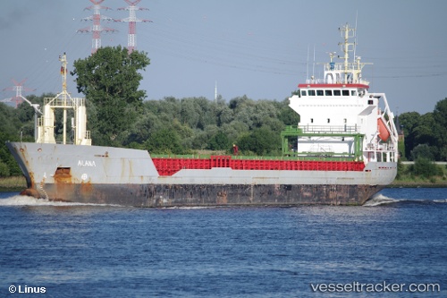
 Kamelia
Current Status
Where is the vessel?
Kamelia is currently in Near Wismar, based on AIS data received about 2h ago.
Latest AIS update:
Current position: 53.90032° N, 11.45806° E (Near Wismar)
Average speed (last 7 days): Loading…
Average speed (last 30 days): Loading…
Vessel profile: Kamelia is a Multi Purpose Carrier with dimensions 95m x 96m.
This page combines live AIS, route history, probable destination signals, nearby traffic, and port activity for practical vessel monitoring.
The current position of vessel Kamelia is 53.90032 lat / 11.45806 lng. Updated: 2026-04-07 01:06:53 UTCNearest reference points:
- Near Wismar
- Near Grossenbrode
- Near BURGSTAAKEN
Currently sailing under the flag of Malta ![]()
Kamelia built in 1999 year
Deadweight:
5049 tDetails:
Live Vessel Kamelia Analytics (details, animations, etc.)
Recent AIS points (UTC):
2026-04-06 19:39:55 UTC · 53.90033, 11.45807 · SOG 0 kn · COG 291°2026-04-06 21:45:53 UTC · 53.90033, 11.45806 · SOG 0 kn · COG 291°
2026-04-06 23:30:54 UTC · 53.90035, 11.45806 · SOG 0 kn · COG 291°
2026-04-07 01:06:53 UTC · 53.90032, 11.45806 · SOG 0 kn · COG 291°