 vesseltracker.com
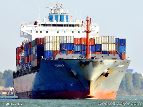
Vessel CMA CGM ALIAGA IMO: 9323039, MMSI: 229573000 Container Ship
UTC, 39.08175, -72.53545, course: 150, speed: 15
UTC, 38.96644, -72.43935, course: 151, speed: 14.6
2026-01-17 20:42:11 UTC, 38.69832, -72.22761, course: 153, speed: 15.2
Live AIS position:
UTC. 91 nm S of Offshore Ambrose),
updated 2026-01-17 20:42:11 UTC.
Find the position of the vessel CMA CGM ALIAGA on the map. The latter are known coordinates and path.
marine traffic ship tracker show on live map
The current position of vessel CMA CGM ALIAGA is 38.69832 lat / -72.22761 lng. Updated: 2026-01-17 20:42:11 UTCCurrently sailing under the flag of Malta
CMA CGM ALIAGA built in 2008 year
Deadweight:
46309 tDetails:
Last coordinates of the vessel:
UTC, 39.31875, -72.72915, course: 152, speed: 14.5UTC, 39.08175, -72.53545, course: 150, speed: 15
UTC, 38.96644, -72.43935, course: 151, speed: 14.6
2026-01-17 20:42:11 UTC, 38.69832, -72.22761, course: 153, speed: 15.2