 vesseltracker.com
Find the position of the vessel St. Andrew on the map. The latter are known coordinates and path.
marine traffic ship tracker show on live map
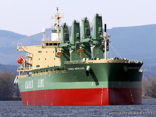
The current position of vessel St. Andrew is 54.9369 lat / 13.4015 lng. Updated: 2024-05-03 00:51:52 UTCCurrently sailing under the flag of Malta
St. Andrew built in 2010 year
Deadweight:
50792 tDetails:
Last coordinates of the vessel:
UTC, 55.111, 14.1087, course: 217, speed: 11.9UTC, 55.0634, 13.9947, course: 250, speed: 11.9
UTC, 54.9463, 13.4459, course: 250, speed: 11.9
2024-05-03 00:51:52 UTC, 54.9369, 13.4015, course: 251, speed: 12