 vesseltracker.com
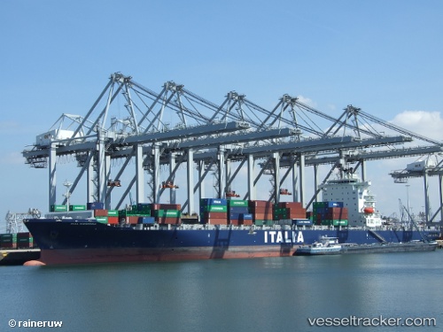
 CMA CGM NANTONG
Current Status
Where is the vessel?
CMA CGM NANTONG is currently in 43 nm NE of Tantawan Terminal, based on AIS data received less than 1h ago.
Latest AIS update:
Current position: 10.40508° N, 102.07560° E (43 nm NE of Tantawan Terminal)
Average speed (last 7 days): Loading…
Average speed (last 30 days): Loading…
Vessel profile: CMA CGM NANTONG is a Container Ship with dimensions 263m x 32m.
This page combines live AIS, route history, probable destination signals, nearby traffic, and port activity for practical vessel monitoring.
The current position of vessel CMA CGM NANTONG is 10.40508 lat / 102.07560 lng. Updated: 2026-04-21 21:09:17 UTCNearest reference points:
- 43 nm E of Benchamas
- 63 nm NW of Dai Hung (STS Load)
- 43 nm SW of Chanthaburi
Currently sailing under the flag of Malta ![]()
CMA CGM NANTONG built in 2008 year
Deadweight:
53644 tDetails:
Live Vessel CMA CGM NANTONG Analytics (details, animations, etc.)
Recent AIS points (UTC):
2026-04-21 15:25:41 UTC · 7.83167, 104.25183 · SOG 15.9 kn · COG 277°2026-04-21 15:25:41 UTC · 7.83167, 104.25183 · SOG 15.9 kn · COG 277°
2026-04-21 15:25:41 UTC · 7.83167, 104.25183 · SOG 15.9 kn · COG 277°
2026-04-21 21:09:17 UTC · 10.40508, 102.07560 · SOG 12 kn · COG -1°