 vesseltracker.com
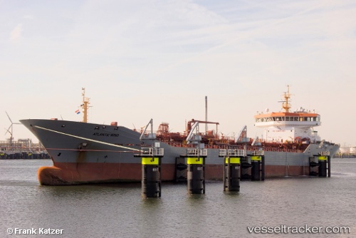
Find the position of the vessel Atlantic Wind on the map. The latter are known coordinates and path.
marine traffic ship tracker show on live map
The current position of vessel Atlantic Wind is 51.58529 lat / 2.13884 lng. Updated: 2025-11-10 18:10:19 UTCCurrently sailing under the flag of Gibraltar
Atlantic Wind built in 2007 year
Deadweight:
15019 tDetails:
Last coordinates of the vessel:
UTC, 52.02667, 2.88500, course: -1, speed: 10UTC, 51.96500, 2.74167, course: -1, speed: 9
UTC, 51.86805, 2.57906, course: 220, speed: 9.7
2025-11-10 18:10:19 UTC, 51.58529, 2.13884, course: 234, speed: 10.2