 vesseltracker.com
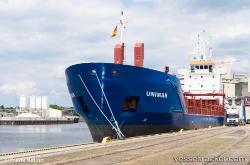
 Soniland
Current Status
Where is the vessel?
Soniland is currently in 20 nm E of Milobadz, based on AIS data received less than 1h ago.
Latest AIS update:
Current position: 55.27387° N, 19.27928° E (20 nm E of Milobadz)
Average speed (last 7 days): Loading…
Average speed (last 30 days): Loading…
Vessel profile: Soniland is a Multi Purpose Carrier with dimensions 90m x 90m.
This page combines live AIS, route history, probable destination signals, nearby traffic, and port activity for practical vessel monitoring.
The current position of vessel Soniland is 55.27387 lat / 19.27928 lng. Updated: 2026-03-29 21:37:30 UTCNearest reference points:
- 17 nm W of Gusevka
- 10 nm NW of Svetlogorsk
- 39 nm W of Pilies juru uosto PVP/Klaipeda
Currently sailing under the flag of Gibraltar ![]()
Soniland built in 1997 year
Deadweight:
4085 tDetails:
Live Vessel Soniland Analytics (details, animations, etc.)
Recent AIS points (UTC):
2026-03-29 16:18:39 UTC · 55.98998, 19.72129 · SOG 8.3 kn · COG 203°2026-03-29 18:23:20 UTC · 55.72416, 19.53984 · SOG 8.3 kn · COG 200°
2026-03-29 20:08:10 UTC · 55.48972, 19.41007 · SOG 8.4 kn · COG 195°
2026-03-29 21:37:30 UTC · 55.27387, 19.27928 · SOG 8.4 kn · COG 201°