 vesseltracker.com
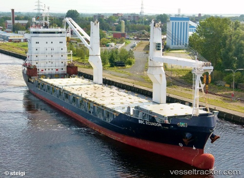
Vessel Onego Rio IMO: 9258985, MMSI: 244150212 Multi Purpose Carrier
UTC, 54.98857, 0.66751, course: 330, speed: 13.1
UTC, 54.98857, 0.66751, course: 330, speed: 13.1
2026-01-15 09:52:11 UTC, 55.48426, 0.22746, course: 335, speed: 12.6
Live AIS position:
UTC. Near Colne),
updated 2026-01-15 09:52:11 UTC.
Find the position of the vessel Onego Rio on the map. The latter are known coordinates and path.
marine traffic ship tracker show on live map
The current position of vessel Onego Rio is 55.48426 lat / 0.22746 lng. Updated: 2026-01-15 09:52:11 UTCCurrently sailing under the flag of Netherlands
Onego Rio built in 2003 year
Deadweight:
10300 tDetails:
Last coordinates of the vessel:
UTC, 54.65908, 0.95380, course: 332, speed: 13.2UTC, 54.98857, 0.66751, course: 330, speed: 13.1
UTC, 54.98857, 0.66751, course: 330, speed: 13.1
2026-01-15 09:52:11 UTC, 55.48426, 0.22746, course: 335, speed: 12.6