 vesseltracker.com
 Parkgracht
Current Status
Where is the vessel?
Parkgracht is currently in Near Charlotte Amalie, based on AIS data received about 1h ago.
Latest AIS update:
Current position: 18.29923° N, 65.06098° W (Near Charlotte Amalie)
Average speed (last 7 days): Loading…
Average speed (last 30 days): Loading…
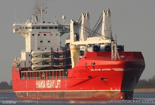
Vessel profile: Parkgracht is a Heavy Load Carrier with dimensions 168m x 25m.
This page combines live AIS, route history, probable destination signals, nearby traffic, and port activity for practical vessel monitoring.
The current position of vessel Parkgracht is 18.29923 lat / -65.06098 lng. Updated: 2026-04-03 09:25:50 UTCNearest reference points:
- Near Charlotte Amalie
- Near ST THOMAS
- Near Norman Island
Currently sailing under the flag of Netherlands ![]()
Parkgracht built in 2009 year
Deadweight:
20170 tDetails:
Live Vessel Parkgracht Analytics (details, animations, etc.)
Recent AIS points (UTC):
2026-04-03 03:47:50 UTC · 18.73598, -66.01465 · SOG 11.4 kn · COG 102°2026-04-03 05:38:09 UTC · 18.64849, -65.66107 · SOG 11.2 kn · COG 105°
2026-04-03 07:36:51 UTC · 18.49240, -65.31122 · SOG 11.3 kn · COG 126°
2026-04-03 09:25:50 UTC · 18.29923, -65.06098 · SOG 7.6 kn · COG 110°