 vesseltracker.com
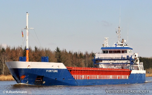
 Bornholm
Current Status
Where is the vessel?
Bornholm is currently in 28 nm W of Verzy, based on AIS data received about 17h ago.
Latest AIS update:
Current position: 49.22228° N, 4.87969° W (28 nm W of Verzy)
Average speed (last 7 days): Loading…
Average speed (last 30 days): Loading…
Vessel profile: Bornholm is a Cement Carrier with dimensions 90m x 14m.
This page combines live AIS, route history, probable destination signals, nearby traffic, and port activity for practical vessel monitoring.
The current position of vessel Bornholm is 49.22228 lat / -4.87969 lng. Updated: 2026-04-10 08:05:42 UTCNearest reference points:
- 34 nm W of Verzy
- 28 nm N of Landunvez
- 18 nm NE of Ile D’Ouessant
Currently sailing under the flag of Netherlands ![]()
Bornholm built in 2008 year
Deadweight:
4537 tDetails:
Live Vessel Bornholm Analytics (details, animations, etc.)
Recent AIS points (UTC):
2026-04-10 02:35:01 UTC · 48.95929, -6.08181 · SOG 10.4 kn · COG 69°2026-04-10 04:21:27 UTC · 49.05767, -5.66114 · SOG 8 kn · COG 71°
2026-04-10 05:20:42 UTC · 49.10333, -5.46333 · SOG 9 kn · COG -1°
2026-04-10 08:05:42 UTC · 49.22228, -4.87969 · SOG 9.4 kn · COG 66°