 vesseltracker.com
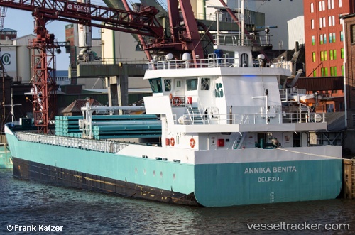
Vessel Marietje Hester IMO: 9279032, MMSI: 244482000 General Cargo Ship
UTC, 51.27356, 3.84557, course: 332, speed: 0
UTC, 51.27333, 3.84500, course: -1, speed: 0
2026-03-09 18:13:18 UTC, 51.27367, 3.84555, course: 332, speed: 0
Live Vessel Marietje Hester Analytics (details, animations, etc.)
Live AIS position: UTC. Near SLUISKIL), updated 2026-03-09 18:13:18 UTC.Find the position of the vessel Marietje Hester on the map. The latter are known coordinates and path.
marine traffic ship tracker show on live map
The current position of vessel Marietje Hester is 51.27367 lat / 3.84555 lng. Updated: 2026-03-09 18:13:18 UTCCurrently sailing under the flag of Netherlands
Marietje Hester built in 2005 year
Deadweight:
3200 tDetails:
Last coordinates of the vessel:
UTC, 51.27347, 3.84536, course: 331, speed: 0UTC, 51.27356, 3.84557, course: 332, speed: 0
UTC, 51.27333, 3.84500, course: -1, speed: 0
2026-03-09 18:13:18 UTC, 51.27367, 3.84555, course: 332, speed: 0