 vesseltracker.com
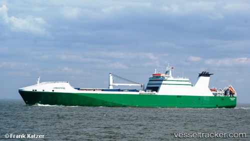
Vessel NEW AMSTERDAM IMO: 9234082, MMSI: 244534000 Ro-Ro Cargo Ship
UTC, 51.35420, 3.17630, course: 48, speed: 0
UTC, 51.36897, 2.77506, course: 276, speed: 10
2026-02-06 15:57:57 UTC, 51.88949, 2.65788, course: 357, speed: 16.2
Live AIS position:
UTC. 18 nm NW of Thorntonbank),
updated 2026-02-06 15:57:57 UTC.
Find the position of the vessel NEW AMSTERDAM on the map. The latter are known coordinates and path.
marine traffic ship tracker show on live map
The current position of vessel NEW AMSTERDAM is 51.88949 lat / 2.65788 lng. Updated: 2026-02-06 15:57:57 UTCCurrently sailing under the flag of Netherlands
NEW AMSTERDAM built in 2003 year
Deadweight:
13274 tDetails:
Last coordinates of the vessel:
UTC, 51.35415, 3.17620, course: 48, speed: 0UTC, 51.35420, 3.17630, course: 48, speed: 0
UTC, 51.36897, 2.77506, course: 276, speed: 10
2026-02-06 15:57:57 UTC, 51.88949, 2.65788, course: 357, speed: 16.2